In This Story
It’s common to think of Indigenous peoples as living in the past. We may think of them around Thanksgiving or in old films and books. But Native Americans are very much here and now, said Jeremy Campbell, and after decades of struggle, that’s starting to be recognized.
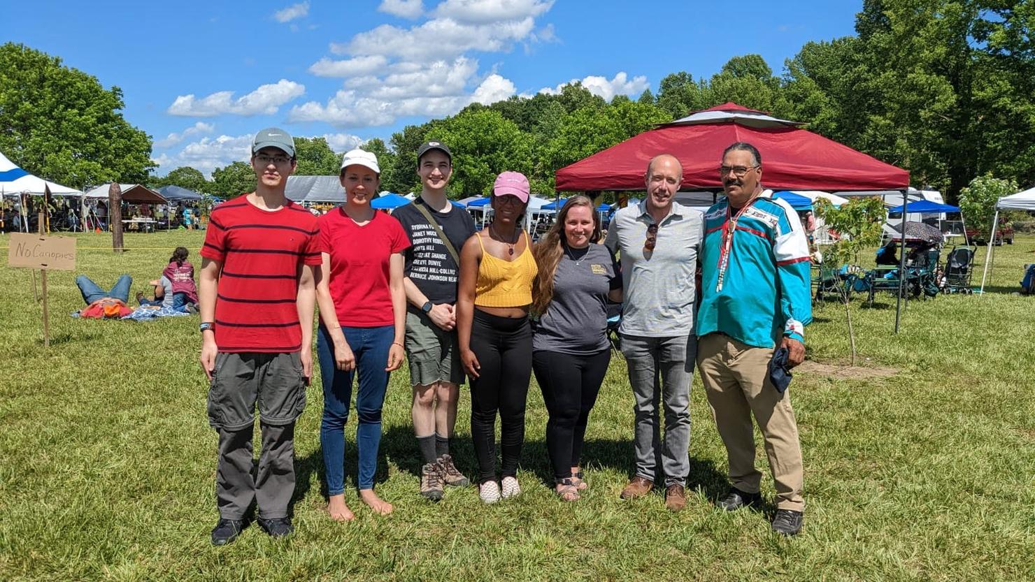
In 2018, U.S. legislation granted federal recognition to six tribes in Virginia. A George Mason University team has been partnering with two of them, the Upper Mattaponi and Chickahominy nations, as they embark on being sovereign nations.
“What really has been an honor to be a part of is building the capacity and the sovereignty of native tribes,” said Campbell, a College of Science professor co-leading the Mason team with School of Integrated Studies professor Tom Wood. “This is a wonderful opportunity for us, as a university, to build a sustainable and respectful relationship that has the potential to last for decades.”
Supporting Tribal Sovereignty
When tribes become sovereign nations, they must set up governments and structures to communicate with the U.S. government, said Campbell, associate director for strategic engagement at Mason’s Institute for a Sustainable Earth. That includes a department of environmental management, which both tribes are setting up.
That’s where Mason comes in.
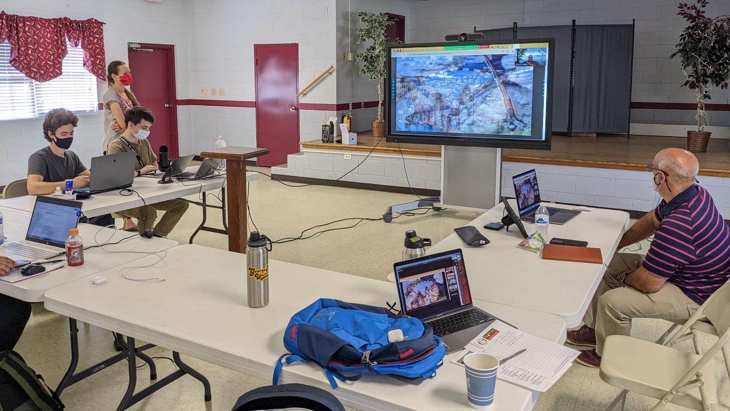
Over the summer, Campbell and Wood led a multidisciplinary team of 10 undergraduates and two graduate researchers to collect environmental data in partnership with tribal governments as part of a Summer Impact Project. Their research will support tribes in making informed decisions for their communities when it comes to conservation, restoration, and environmental matters.
Chickahominy Connections
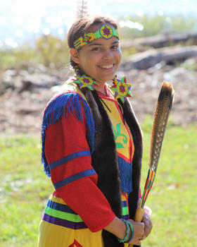
For junior psychology major Sara Jefferson, the project hits home.
Jefferson is part of three groups supporting the Chickahominy tribe in food security, wildlife assessment, and digital mapping.
“In the food security group, we’re researching the accessibility to different food sources in the surrounding Charles City area, and assisting the beginning process of community gardens within the tribe,” she said.
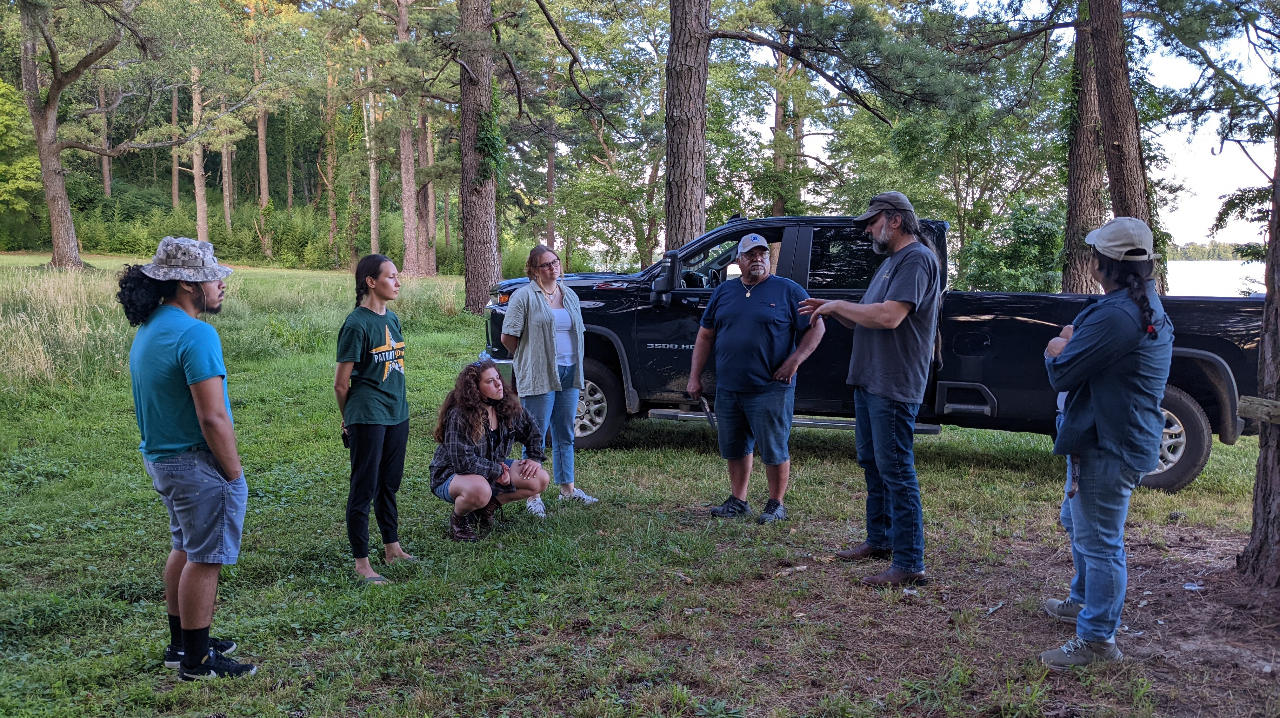
Jefferson is also part of a wildlife assessment group that’s identifying wildlife commonly found in the area and declining species. This involves expeditions along the Powhatan (James) River at dawn—when animals are most likely to be out—and recording where and when animals are discovered.
“This project has been very valuable to the Chickahominy Tribe, as it’s helped us establish a baseline of information about our tribal lands and waters that will help us as we make decisions going forward,” said Dana Adkins, tribal environmental director of the Chickahominy Indian Tribe. “As we work to strengthen our community’s role as stewards of our ancestral lands, it’s been great to partner with the students and learn from them as they learn from us.”
Uncovering What Was Lost
In the wildlife assessments, the teams are also tracking what they didn’t find, such as native plant species being pushed out by invasives, Campbell said. Talking with their Indigenous partners helps them understand what the ecosystem should look like.
Collaborating with the tribes is of utmost importance for upholding tribal sovereignty, and for expanding students’ understanding.
That mindset can be powerful, Campbell said, especially as the system most people are used to has ignored or marginalized Indigenous ways of knowing.
“If we connect with those ways of knowing and relationships, it can enrich our personal lives, and our ability to perceive and interact with nonhumans, and other communities, in a way that leads to more profound awareness.”
Going Digital
The Mason team is also training tribal members in how to create geospatial information systems (GIS) databases. These include information about landscape changes, and air and water quality.
“We pull it into a system like ArcGIS, and overlay culturally significant points,” Campbell said. “We’re working with the tribes to train them, so that, if we’re successful, we can stand back and just stand ready for the new kinds of questions and challenges that might come up.”
Students also benefit.
“This has started to get me versed in GIS, and geospatial data is on the cutting edge of a lot of social science fields,” Condo said. “It’s really a great access point for a lot of interdisciplinary spaces.”
Protecting Indigenous Data
“Tribal sovereignty is at the heart of this partnership, which is necessary and important,” said Leigh Mitchell, environmental and cultural protection director of the Upper Mattaponi Indian tribe. “Indigenous priorities have led the way in this research.”
For the Upper Mattaponi, who recently took land into trust, one of those priorities includes documenting how their landscape—which borders on the edge of urban expansion—has changed over the past 50 years, and how people are interacting with the land.
The Mason team is also constructing protocols to ensure that Indigenous people have control of their data in accordance with the principles of Indigenous Data Sovereignty—the right of a tribal nation to govern the collection, ownership, and application of its own data.
One of the team’s next steps, Campbell said, is to create a digital environment where tribes can grant tiers of access to non-native collaborators.
Research in Dialogue
Learning directly with the tribes has been a major draw, Jefferson and Condo agreed.
In addition to providing tribes with information needed to make informed environmental decisions, relationship building has been at the project’s center.
“It’s very much a dialogue,” Campbell said.
